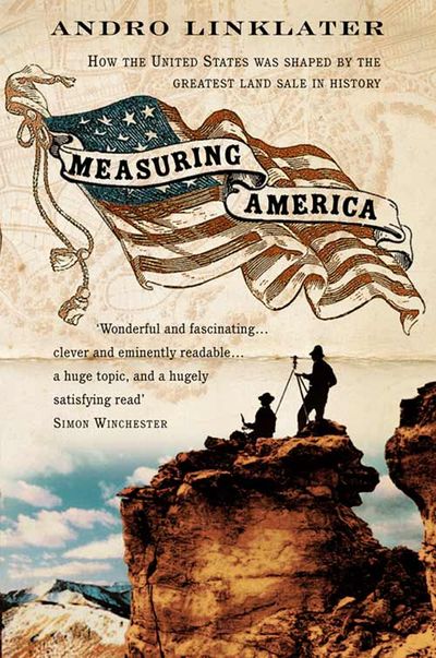
Measuring America
The epic story of how the gigantic land of America acquired its unique shape across 3000 miles of territory, and how the largest land survey in history paved the way both for a colossal sale of property and for the embedding of democracy and the spirit of independence in the psyche of Americans.
The sheer scale of it makes the measuring of America extraordinary. Beginning in 1785, it became the largest land survey in history stretching from the Ohio river to the Pacific coast and from Lake Erie to the Mexican border. It prepared the ground for the sale of almost two billion acres, and shaped landscapes and cities across the US more drastically than any event since the last ice age.
Before the survey could begin, there had to be agreement about what kind of measurement should be used. What made the 18th-century debate so critical was the revolution taking place in Western thought as objective, scientific reasoning challenged the traditional, subjective view of the world. A battle began between those (like the British) supporting a centuries-old organic form of measurement (ounces and pounds, yards and acres) and the modernizers, like Thomas Jefferson, who backed a system based on scientific observation.
The effects of the measuring of America on the landscape and people (native and immigrant) were huge and long-lasting; the story itself an exotic blend of narrative history and popular science
-
